
US Department of Labor obtained judgment to prevent Mississippi fish farm Battle Fish North and processing plant Magnolia Processing Inc. from threatening workers and interfering with the investigation.
Battle Fish North and Magnolia Processing in Mississippi allegedly hid evidence and threatened retaliation.
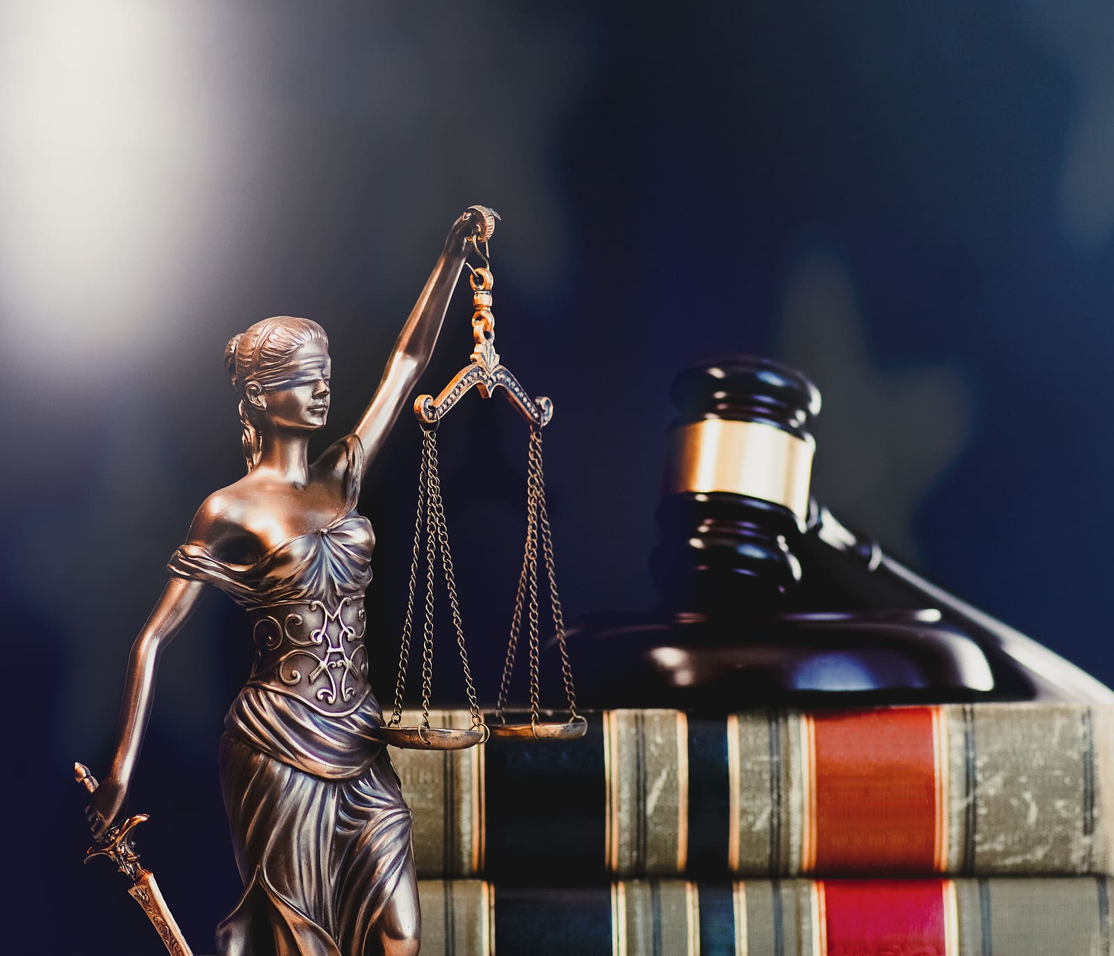
OXFORD, MISSISSIPPI (STL.News) The US Department of Labor has obtained a consent judgment that prevents a Tunica fish farm and processing plant from retaliating against its workers and interfering with federal investigations of their employment practices.
In August 2023, investigators with the department’s Wage and Hour Division found Battle Fish North and Magnolia Processing Inc. in Mississippi allegedly trying to hide evidence, provide false information, and interrupt communications with witnesses, violating the Fair Labor Standards Act. The division also determined Battle Fish North and Magnolia Processing, and representatives of the companies told employees they did not have to speak with investigators and threatened retaliation against them if they refused to mislead investigators intentionally. Specifically, the investigation found company managers threatened workers with physical harm, deportation, or firing if they communicated honestly, or at all, with investigators.
The judgment, granted by the US District Court for the Northern District of Mississippi, forbids employers from retaliating against workers and interfering with investigations.
“The court has drawn a clear line in the sand: No worker should fear retaliation from their employer, and no employer should mistakenly believe they can interfere with a federal investigation without consequences,” explained Regional Solicitor Tremelle Howard in Atlanta. “Intimidating and threatening workers is reprehensible, and we will do everything within our power, including litigation, to ensure employers are held accountable.”

The department also obtained an injunction against Battle Fish North, Magnolia Processing, and their agents, requiring them to read a statement of rights to H-2A temporary agricultural workers annually for three years and to conduct training of senior officials on the rights of H-2A workers to ensure compliance with the law.
“The Wage and Hour Division is committed to fostering an environment in which workers are safe from retaliation for asserting their rights and speaking up during our investigations,” said Wage and Hour Division District Director Audrey Hall in Jackson, Mississippi. “Protecting workers from retaliation is a top priority of the agency. Working with the department’s legal team, we stopped this misconduct.”
The division offers confidential compliance assistance to anyone—regardless of where they are from—who has questions about their wages or how to comply with the law by calling the agency’s toll-free helpline at 866-487-9243. The division can speak with callers in more than 200 languages.
USPress.News covered this story as well.